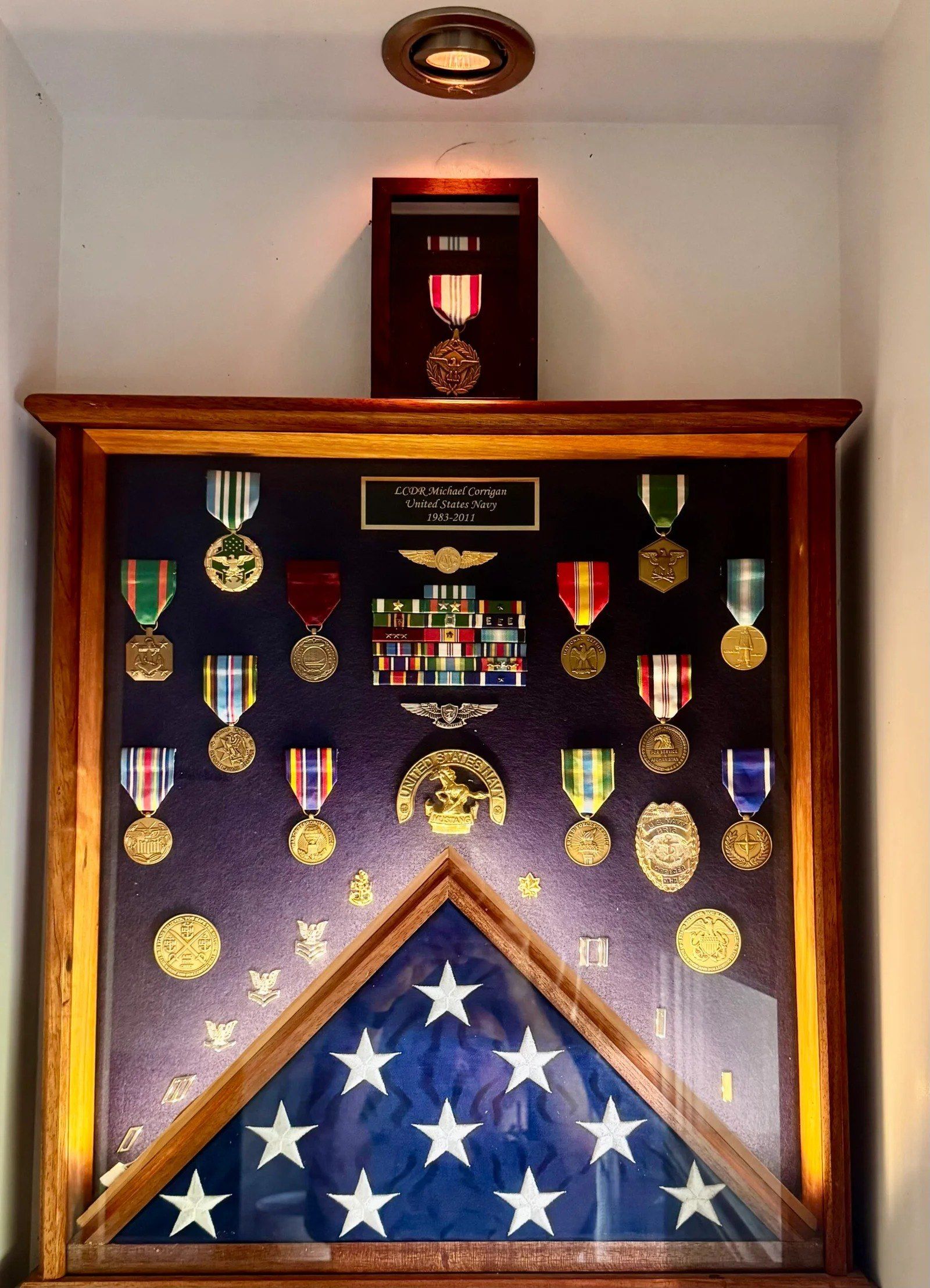
Throughout my 43-year career in Naval Aviation and the Department of Defense, integrity, preparation and attention to detail were not just values - they were requirements. As an aircrewman, quality assurance inspector and leader, I learned that accuracy matters, accountability matters, and trust is earned, not assumed.
Today I bring those same principles to every inspection I perform. Whether I am evaluating a commercial roof, inspecting a solar installation, mapping farmland or documenting critical infrastructure, my focus remains the same: deliver accurate information that helps clients make informed decisions.
The technology has changed. The standards have not.
I do not believe in overselling what I do or pretending to be a large corporation. When you hire Blue Horizon Drone LLC, you are working directly with the owner - the person planning the mission, flying the aircraft, analyzing the data and delivering the final report.
I began in aviation as a Naval Aircrewman, and while not flying I specialized in quality assurance, where precision, documentation and attention to detail were essential to mission success. Those principles stayed with me through operational deployments, planning and readiness leadership, and senior strategic roles supporting the Department of Defense.
As retirement approached I was not looking for a hobby. I was looking for a way to continue applying a lifetime of experience to meaningful work. Blue Horizon Drone is the result: a business built on decades of inspection experience, now powered by today’s drone technology.
After more than 43 years serving my country in military aviation and as a civil servant, I founded Blue Horizon Drone LLC with one mission: provide professional aerial inspections that clients can trust. I personally conduct every mission using advanced thermal imaging and drone technology, applying the same attention to detail, safety and quality that guided my career in aviation quality assurance. When you hire Blue Horizon Drone LLC you are working directly with the owner, not a subcontractor, and you can expect honest communication, reliable results and a commitment to excellence from start to finish.
To earn a reputation where integrity is expected, precision is trusted, and every inspection reflects a lifetime of service.
Every mission is planned, flown, analyzed and reported by the same person you talk to on the phone.
- Company name
- Blue Horizon Drone, LLC
- Business classification
- Veteran-Owned Small Business
- Primary service area
- Shenandoah Valley, Virginia and the Mid-Atlantic region
- Website
- BlueHorizonDrone.com
- mike@bluehorizondrone.com
- Phone
- (540) 480-6270
- Building envelope assessments
- Roof moisture intrusion detection
- Electrical system hotspot identification
- Solar photovoltaic inspections
- Agricultural and livestock monitoring
- Equipment condition monitoring
- Preventive maintenance surveys
- Orthomosaic mapping
- 2D and 3D modeling
- Construction progress documentation
- Site and land development surveys
- Environmental monitoring
- Wildlife and habitat assessments
- Commercial and industrial facilities
- Utility infrastructure
- Agricultural operations
- Real estate due diligence
- Insurance documentation
- Post-storm damage assessments
- FAA Part 107 Certified Remote Pilot
- FLIR Certified Thermographer
- Veteran-Owned Small Business
- 28 years of Naval Aviation leadership and maintenance experience
- More than 5,000 hours of military aviation operational experience
- Specialized focus on thermal imaging and actionable data collection
- Rapid deployment capability throughout the Shenandoah Valley
- Professional-grade aerial and thermal sensor platforms
- DJI Matrice 4T
- Radiometric thermal imaging
- High-resolution visual imaging
- Optical zoom inspection cameras
- GPS-enabled mapping and survey data collection
- Day and night operations (as authorized)
- 541922
- Commercial Photography
- 541370
- Surveying and Mapping Services
- 541990
- All Other Professional, Scientific and Technical Services
- 541690
- Other Scientific and Technical Consulting Services
Contracting officers and procurement teams: call or email and I will send the capability statement in whatever format your system wants it in.
- Phone
- (540) 480-6270
- mike@bluehorizondrone.com
- Service area
- the Shenandoah Valley and the Mid-Atlantic
- Hours
- Monday to Saturday, and after dark when the job calls for it
During flight operations I may be unable to answer the phone. Leave your name, number and a brief message and I will return your call as soon as it is safe to do so.
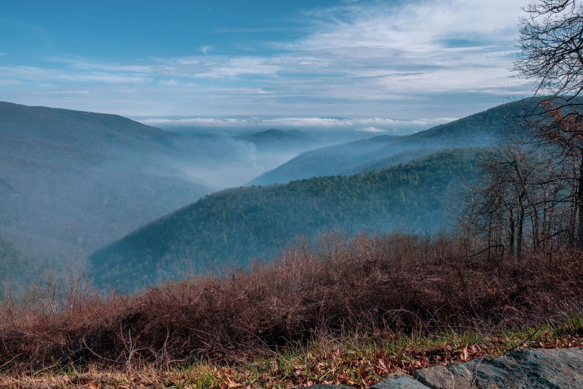
Based in the Shenandoah Valley, Virginia. For larger projects, the wider Mid-Atlantic region - ask.
Send the details straight through the quote form and skip a phone call.
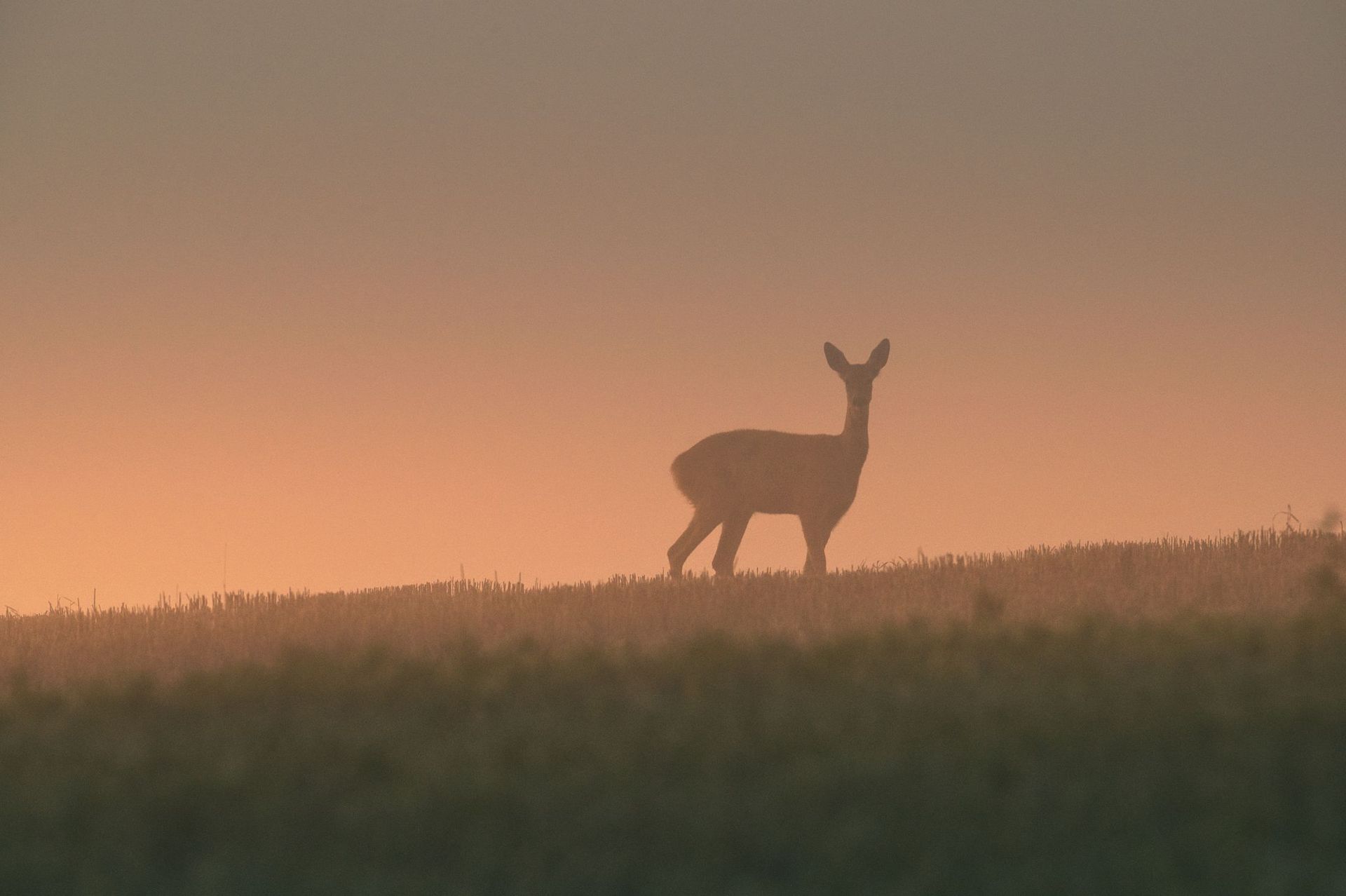
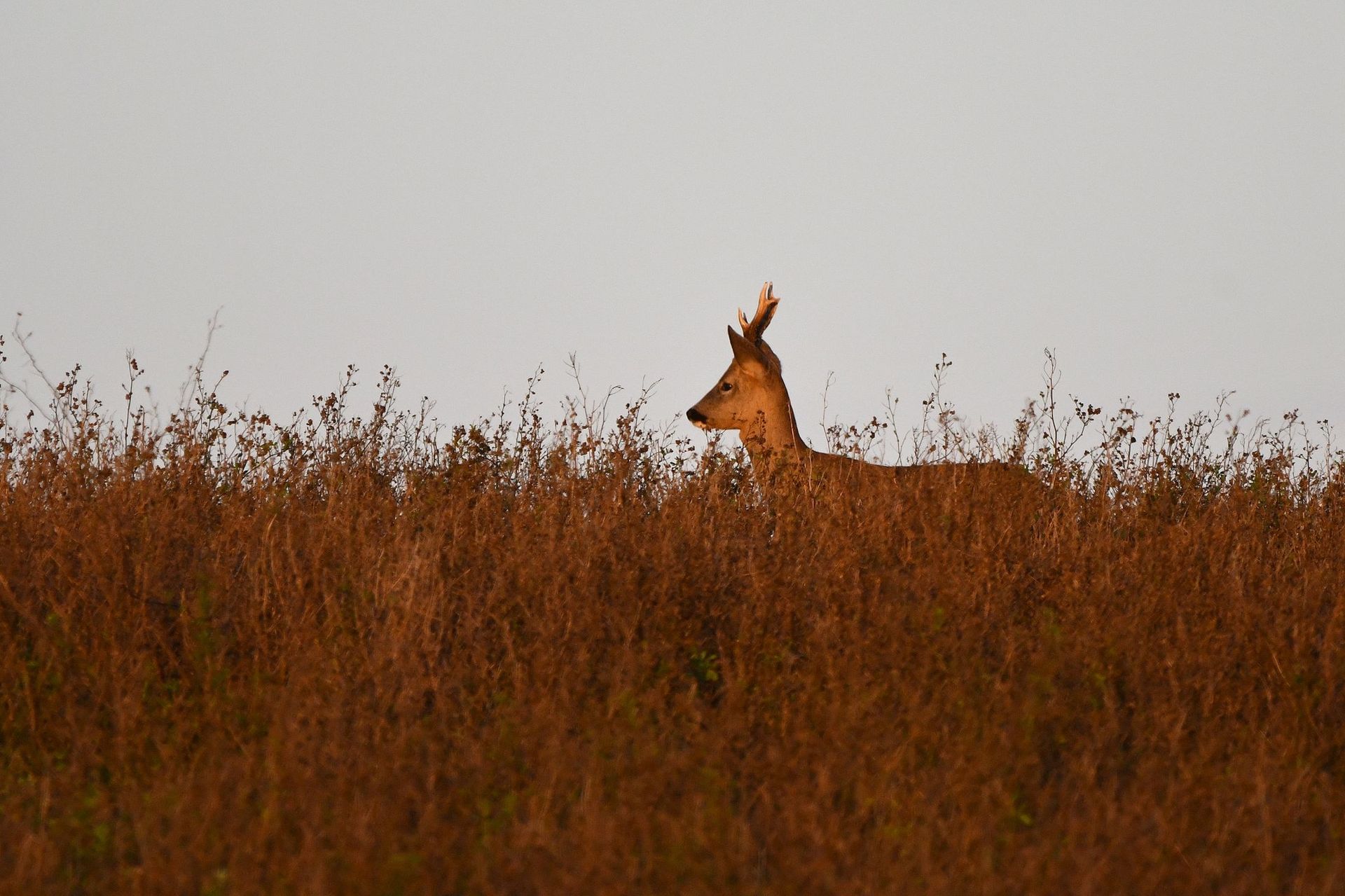
A wounded deer that makes it into standing corn, a briar thicket or a creek bottom can be twenty yards from a search party and never be found. A body at 100 degrees in vegetation at 50 is not subtle to a thermal camera, and from two hundred feet up a drone covers in ten minutes what takes a line of people an evening.
Recovery flights work best after dark once the ground has given up the day’s heat, and best of all within a few hours of the shot. Call early rather than after you have spent the night looking - the longer the ground stays warm and the longer the animal has been down, the harder the contrast gets.
The sooner after the shot, the stronger the thermal contrast and the better the odds.
Once the ground cools, a warm body stands out sharply. Midday sun on open ground is the hardest condition there is.
The last blood, the last track, the direction of travel. The search starts there.
A search party moving through the area both pushes the animal and puts more warm bodies in the picture.
This is a recovery service, not a hunting service. Blue Horizon Drone does not locate live game for hunters, and flights are conducted in accordance with FAA regulations and Virginia law. The purpose is to recover an animal that has already been taken so it is not wasted.
Call. Do not wait until morning - the contrast is at its best in the first few hours after dark.
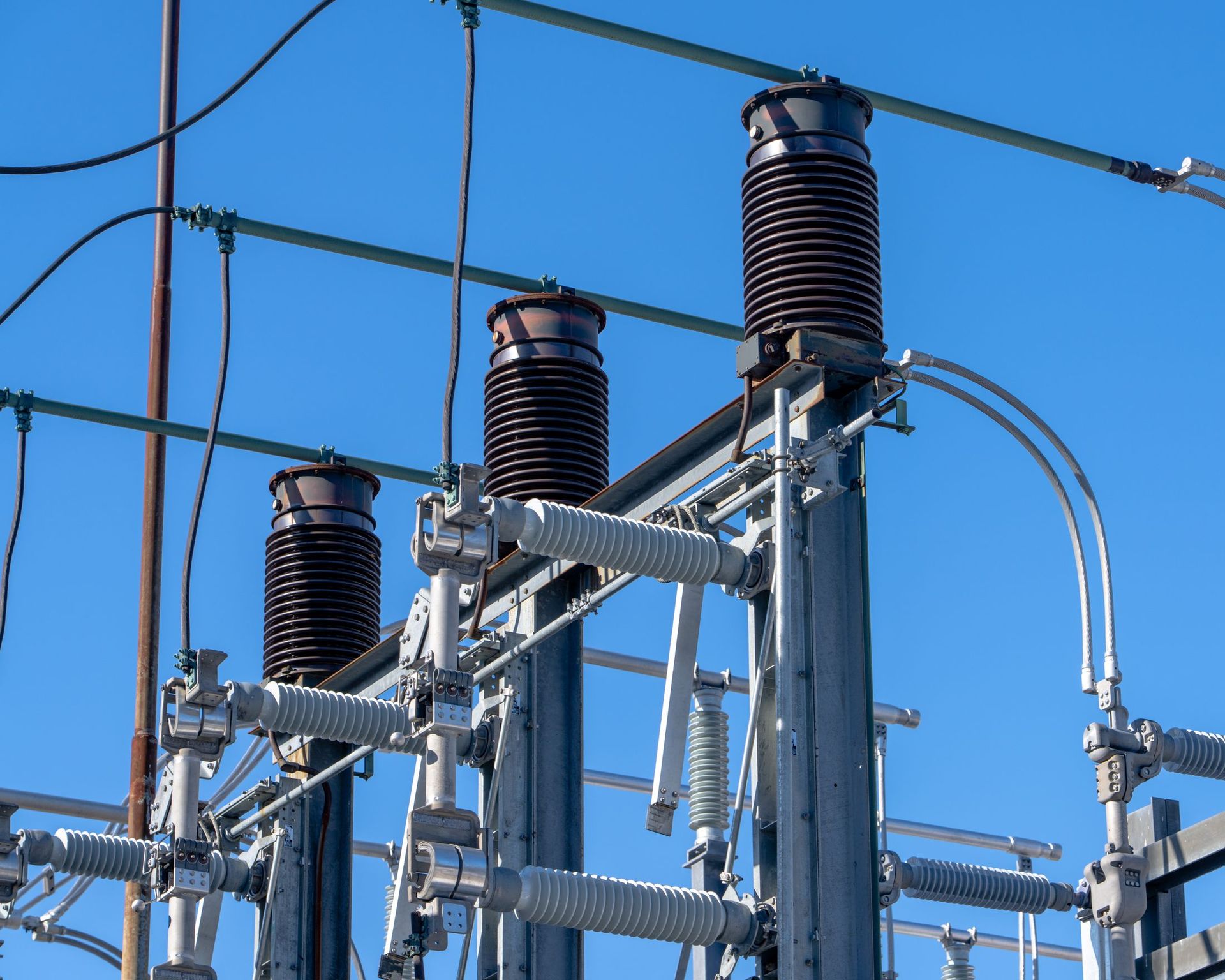
Almost every electrical failure is preceded by heat. A loose connection, an overloaded circuit, an unbalanced phase or a failing bushing runs warmer than its neighbors long before it fails, and the comparison between identical components is what makes the fault obvious.
Surveying that equipment from the air removes the two worst parts of the traditional job: getting a thermographer close to energized gear, and getting them high enough to see the top of it. Equipment is inspected under normal load, which is the only condition in which the heat signature means anything.
Findings come back with spot temperatures, a delta against the reference component, and imagery - the format a maintenance planner can act on and file.
- Power distribution equipment
- Substations
- Transmission and distribution lines
- Transformers
- Switchgear
- Electrical connections
- Loose or corroded connections
- Overloaded circuits
- Phase imbalance
- Failing transformers and bushings
- Switchgear and breaker hot spots
- Distribution and transmission line faults
We discuss your goals, your concerns and what the inspection actually needs to answer.
Weather, airspace, site access and safety are evaluated before anything flies. This is the part most operators skip.
FAA-compliant flight operations. Thermal and high-resolution visual imagery collected with professional-grade equipment.
Thermal imagery is reviewed for temperature anomalies and areas that warrant further evaluation.
A detailed report with annotated imagery, observations and findings you can hand to a maintenance team or an adjuster.
Tell me the site, the size and roughly when, and I will come back with a number and a recommended flight window.
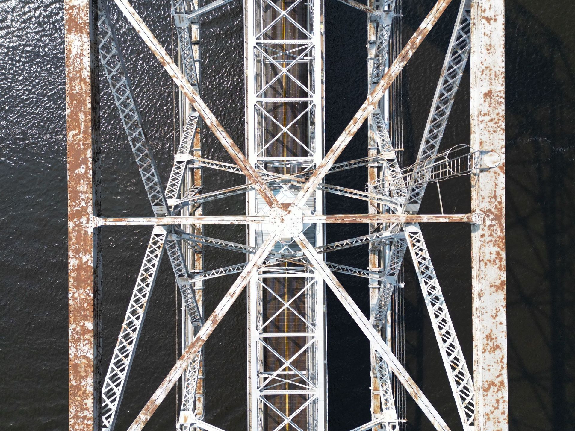
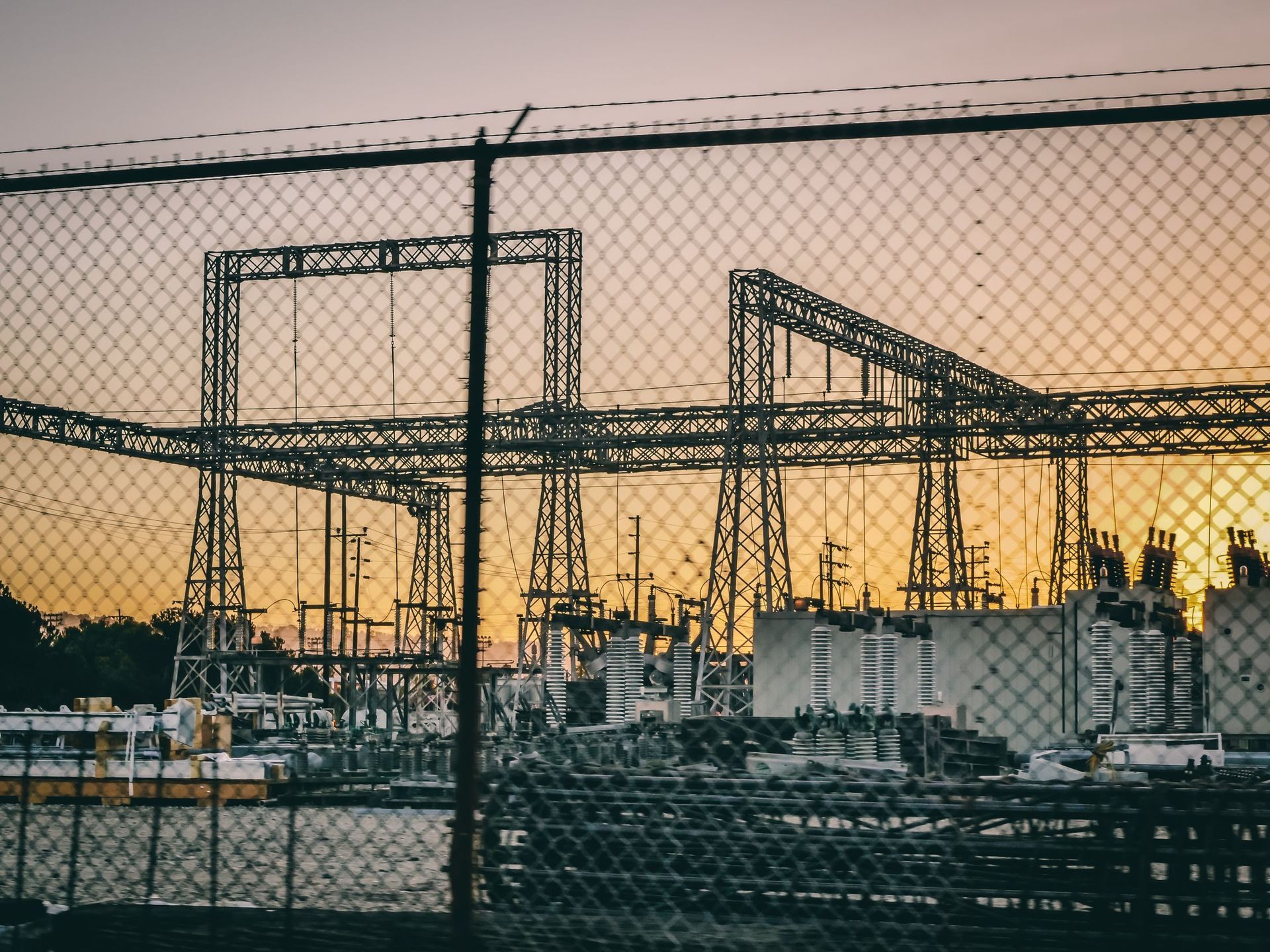
Infrastructure inspection is mostly an access problem. The condition that matters is usually on the underside of a deck, the top of a tower or the far side of a tank, and reaching it traditionally means a snooper truck, a lift, a climb or a lane closure.
Aerial survey gets the camera there in minutes. Thermal adds what a visual pass cannot see: delamination in concrete, moisture behind a facade, insulation loss on a tank, heat signatures around a bearing or a joint.
For construction, the same flight produces orthomosaic maps and 2D or 3D models, which makes monthly progress documentation, earthwork verification and as-built records a routine deliverable rather than a project of their own.
- Bridges
- Culverts
- Towers
- Water tanks
- Public works assets
- Construction monitoring
- Concrete delamination and spalling
- Moisture behind facades and in tanks
- Structural and weld condition documentation
- Tower and antenna condition
- Orthomosaic and 3D site models
- Monthly construction progress records
We discuss your goals, your concerns and what the inspection actually needs to answer.
Weather, airspace, site access and safety are evaluated before anything flies. This is the part most operators skip.
FAA-compliant flight operations. Thermal and high-resolution visual imagery collected with professional-grade equipment.
Thermal imagery is reviewed for temperature anomalies and areas that warrant further evaluation.
A detailed report with annotated imagery, observations and findings you can hand to a maintenance team or an adjuster.
Tell me the site, the size and roughly when, and I will come back with a number and a recommended flight window.
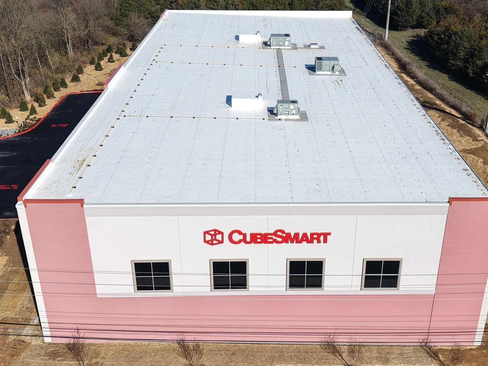
Wet insulation under a membrane holds heat. After the sun goes down a dry roof sheds that heat quickly and a saturated area does not, so for a window each evening the moisture map of a roof is plainly visible to a thermal camera and invisible to everyone standing on it.
That window is the whole job. It is why roof thermography is flown at a specific time under specific conditions rather than whenever someone is available, and it is the part of the work that 43 years of mission planning turns out to be directly relevant to.
The deliverable is an annotated map of the suspect areas with temperatures and visual imagery alongside - the document a roofing contractor needs to scope a repair, or an adjuster needs to process a claim.
- Flat commercial roofs
- Moisture intrusion detection
- Heat loss analysis
- Storm damage assessment
- Insurance documentation
- Moisture intrusion and saturated insulation
- Heat loss and missing insulation
- Membrane and seam failures
- Ponding and drainage problems
- Storm and hail damage documentation
- Flashing and penetration defects
We discuss your goals, your concerns and what the inspection actually needs to answer.
Weather, airspace, site access and safety are evaluated before anything flies. This is the part most operators skip.
FAA-compliant flight operations. Thermal and high-resolution visual imagery collected with professional-grade equipment.
Thermal imagery is reviewed for temperature anomalies and areas that warrant further evaluation.
A detailed report with annotated imagery, observations and findings you can hand to a maintenance team or an adjuster.
Tell me the site, the size and roughly when, and I will come back with a number and a recommended flight window.
The same sensor that finds a failing breaker finds a fawn in tall grass. Two services that matter locally, kept separate from the commercial side because they are.
Finding fawns and nesting birds before the mower reaches them.
Thermal search for a wounded deer that ran before you could track it.
We discuss your goals, your concerns and what the inspection actually needs to answer.
Weather, airspace, site access and safety are evaluated before anything flies. This is the part most operators skip.
FAA-compliant flight operations. Thermal and high-resolution visual imagery collected with professional-grade equipment.
Thermal imagery is reviewed for temperature anomalies and areas that warrant further evaluation.
A detailed report with annotated imagery, observations and findings you can hand to a maintenance team or an adjuster.
A short conversation is usually enough to tell you whether thermal is the right tool and what a flight would cost. If it is not the right tool, I will say so.
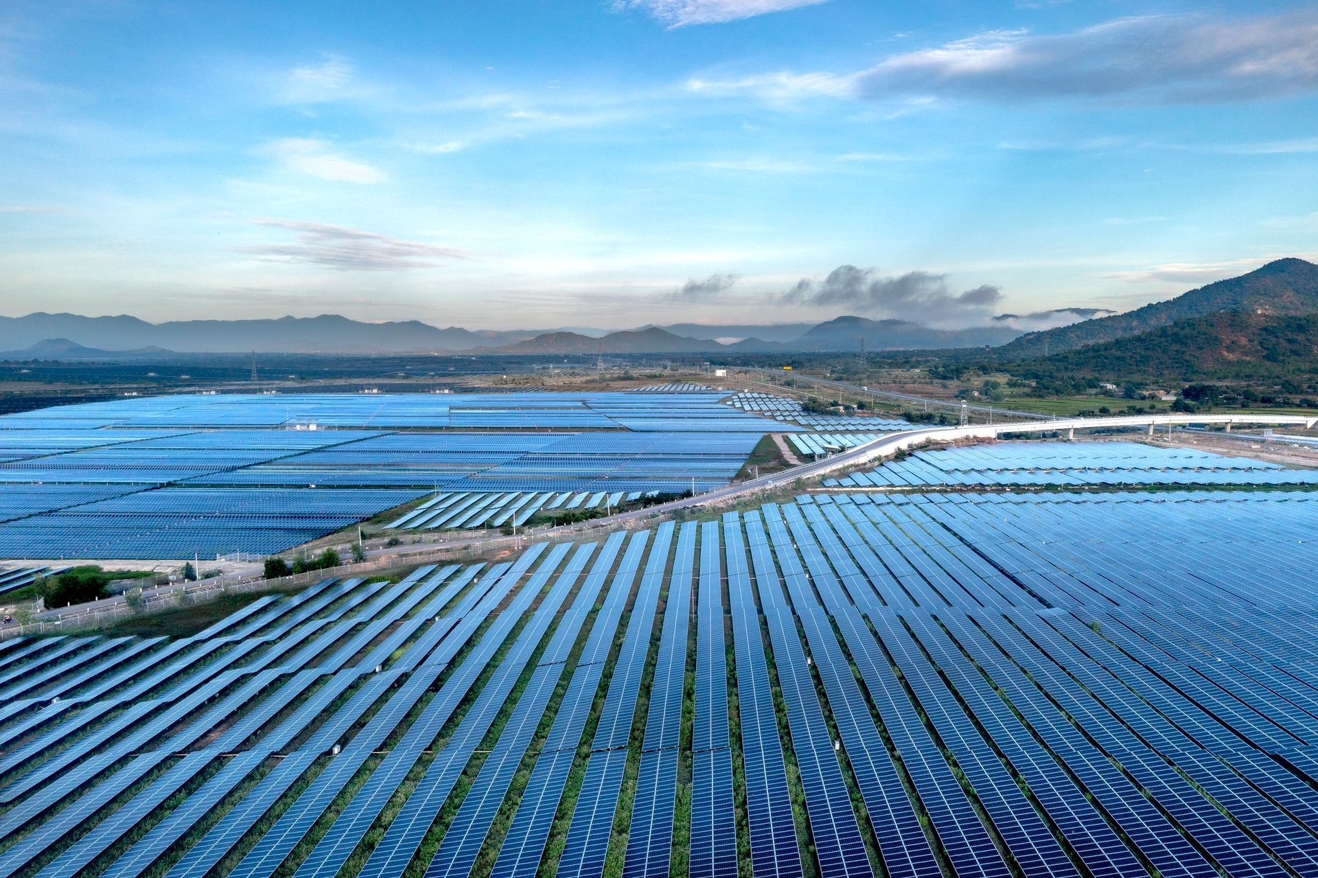
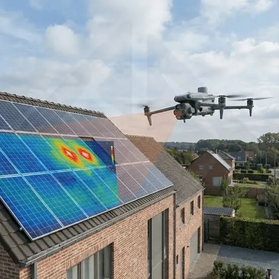
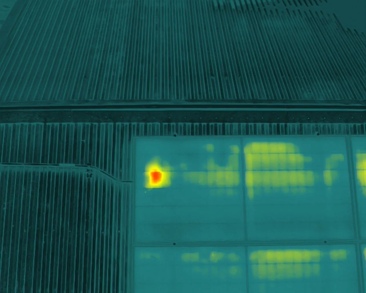
A solar array fails quietly. A cracked cell, a failed bypass diode, a shaded or soiled module, a bad string connection - none of it announces itself, and none of it shows on a walk-around. What it does do is run hot, and a radiometric thermal camera sees that from the air in a single pass.
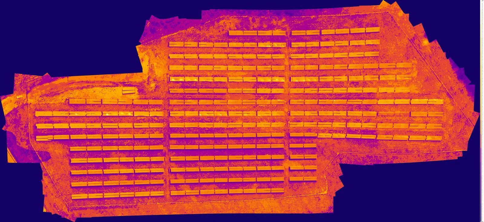
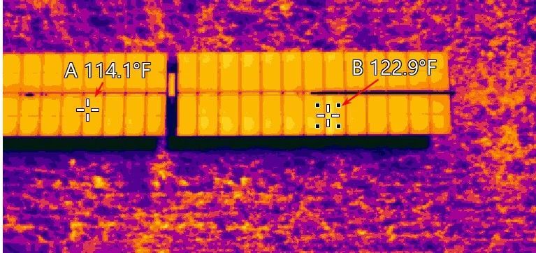
Blue Horizon Drone flies solar with a DJI Matrice 4T, collecting radiometric thermal and high-resolution visual imagery simultaneously. Every anomaly comes back with a temperature, a location in the array and a photograph, so an O&M crew knows which module to walk to rather than which field to search.
The work suits commissioning acceptance, annual O&M surveys, warranty claims and pre-purchase due diligence. For a farm of any size it is faster than a handheld survey by an order of magnitude, and it does not require taking the array offline.
- Utility-scale solar farms
- Commercial solar arrays
- Residential solar systems
- Hot spot detection, string and module analysis
- Commissioning and O&M support
- Hot spots and cell-level defects
- Failed bypass diodes
- Underperforming or dead modules
- String and combiner faults
- Soiling and shading losses
- Junction box failures
- Cracked or delaminated panels
We discuss your goals, your concerns and what the inspection actually needs to answer.
Weather, airspace, site access and safety are evaluated before anything flies. This is the part most operators skip.
FAA-compliant flight operations. Thermal and high-resolution visual imagery collected with professional-grade equipment.
Thermal imagery is reviewed for temperature anomalies and areas that warrant further evaluation.
A detailed report with annotated imagery, observations and findings you can hand to a maintenance team or an adjuster.
Tell me the site, the size and roughly when, and I will come back with a number and a recommended flight window.
Technology will continue to evolve. Aircraft will improve. Software will become more advanced. But integrity, accountability and respect for every client never go out of style. These are the principles that guide every project I accept.
I will always communicate honestly with my clients. If I do not know an answer, I will tell you. If additional expertise is needed, I will recommend it. My goal is to provide accurate information, not simply the answer someone hopes to hear.
Whether inspecting a small farm building or a large commercial facility, every project receives the same level of preparation, attention to detail and professionalism.
My reports are based on observable data, professional judgment and established inspection practices. I will never exaggerate findings or create unnecessary concern.
Technology changes rapidly, and so do inspection techniques. I remain committed to continuing education, training and improving my skills so every client benefits from current knowledge and best practices.
Blue Horizon Drone LLC is intentionally owner-operated. Every mission is personally planned, flown, analyzed and delivered by me. When you contact Blue Horizon Drone, you are working directly with the person responsible for the quality of the final product.
My goal is to build long-term relationships, not simply complete transactions. If my services are not the right solution for your situation, I will tell you. Earning your trust is more important than making a sale.
The technology has changed. The standards have not.
After a lifetime of military and federal service I was not ready to stop serving. Blue Horizon Drone LLC gives me the opportunity to apply decades of planning, discipline and technical experience to help businesses, property owners and communities make informed decisions through professional aerial inspection services. I appreciate every client who places their trust in me, and I will work every day to earn and keep that trust.
If a thermal flight is not the right answer to your question, I will tell you that instead of selling you one.
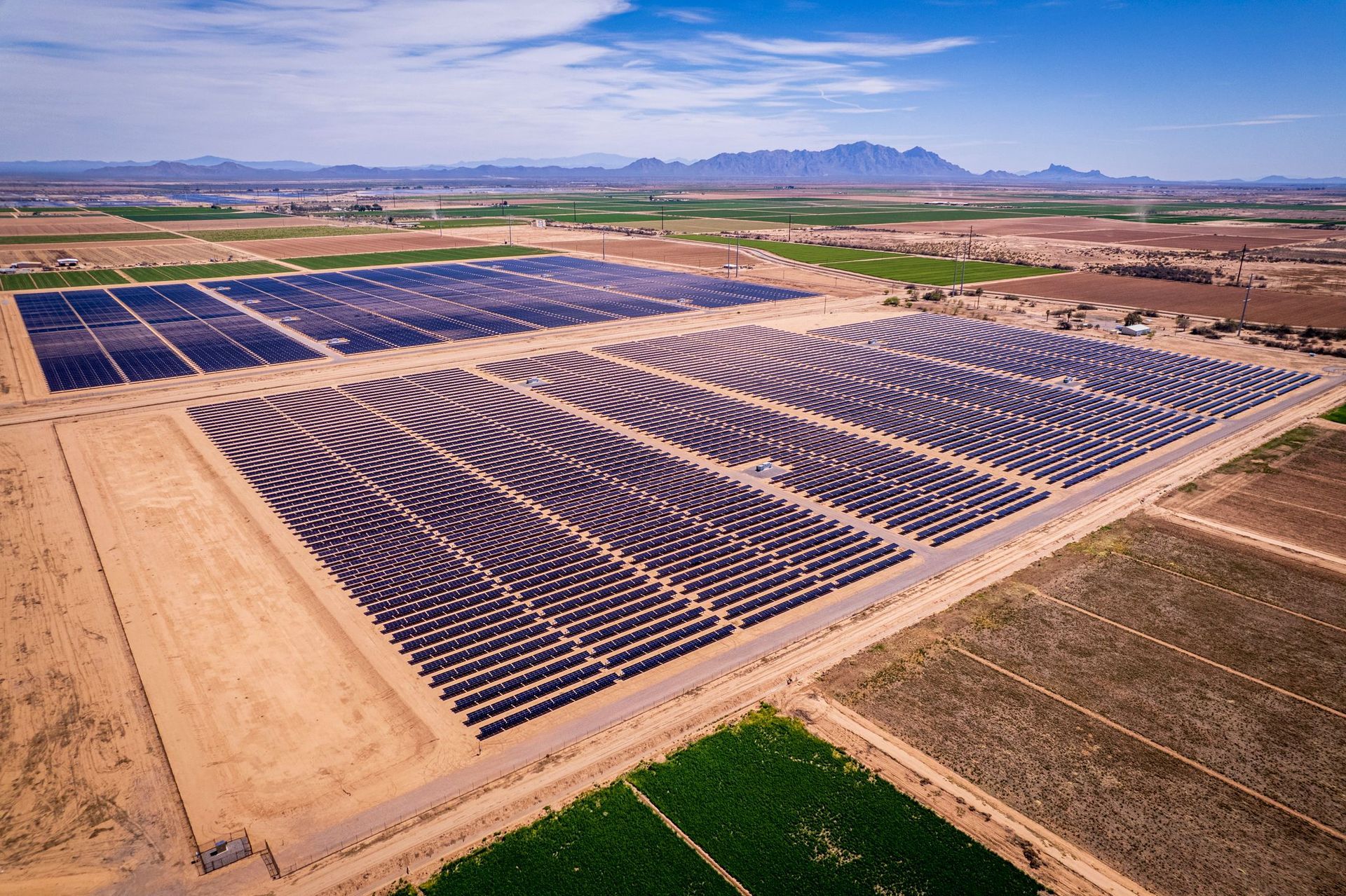
Not every problem is visible. Thermal imaging detects the temperature differences that precede most equipment failures - a loose connection, a wet roof deck, an underperforming solar string - weeks or months before anything shows up on a walk-around.
These subtle heat patterns can reveal hidden issues long before they become costly failures, which lets property owners, facility managers and maintenance teams make decisions on real data rather than on a hunch or a schedule.
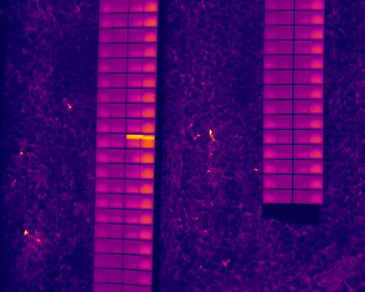
Many equipment failures begin with a change in temperature. A thermal inspection helps identify developing problems before they result in expensive repairs, unexpected downtime or safety hazards.
- Roof moisture intrusion
- Hidden water leaks
- Missing or damaged insulation
- Electrical hot spots
- Loose electrical connections
- Overloaded breakers and circuits
- Transformer abnormalities
- HVAC performance issues
- Mechanical bearing wear
- Steam or process heat leaks
- Solar panel defects and underperforming modules
- Building envelope deficiencies
Traditional inspections mean lifts, scaffolding and personnel working at height. Most of that goes away.
A solar farm or a warehouse roof is covered in a fraction of the time a walking survey takes.
Non-contact and non-destructive. In most cases nothing has to be shut down or opened up.
Radiometric thermal and high-resolution RGB collected on the same pass, so every anomaly has a photograph beside it.
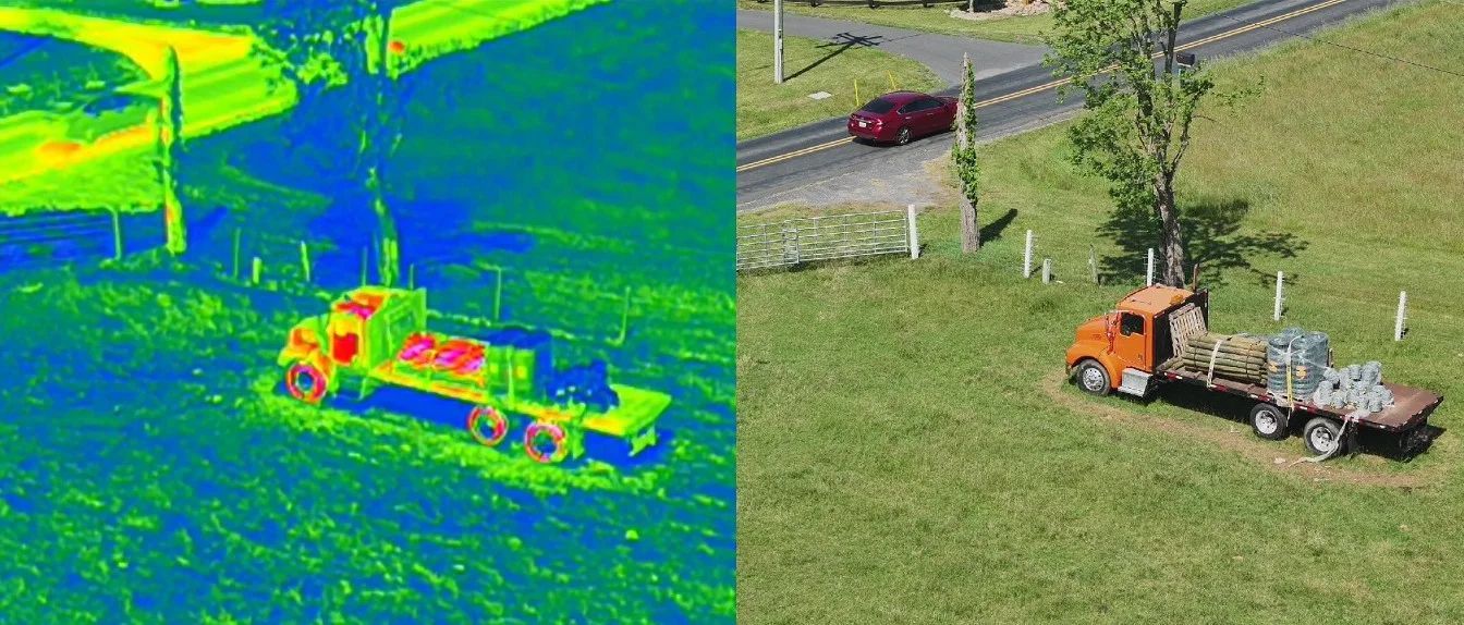
No. Thermal cameras do not see through solid objects. They detect infrared energy emitted from surfaces, allowing temperature differences to be visualized. Those differences can indicate hidden conditions that may require further investigation.
No. Thermal inspections are completely non-contact and non-destructive.
Yes. Professional thermal cameras are highly accurate when operated correctly and under appropriate environmental conditions. Proper flight planning and image interpretation are essential to obtaining meaningful results.
The ideal conditions depend on the type of inspection being performed. Roofs, solar arrays, electrical systems and building envelopes each have recommended inspection windows that produce the most reliable results. Tell me what you need looked at and I will tell you when to fly it.
Yes. Every inspection includes organized imagery and a professional report documenting observations and areas of concern.
Yes. The focus is commercial - solar, electrical, roofing, utility and infrastructure - but residential work is taken as it comes, including home solar systems and roofs.
Rapid deployment throughout the Shenandoah Valley, and the wider Mid-Atlantic region for larger projects. Ask.
Tell me what you are trying to find out and I will tell you honestly whether a thermal flight will answer it.
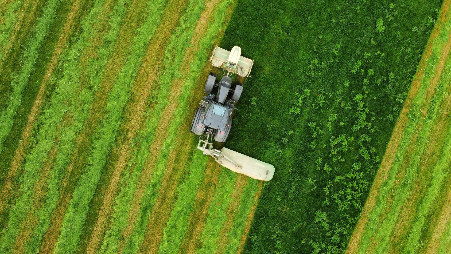
Each year countless rabbits, white-tailed deer fawns, ground-nesting birds and other small animals are unintentionally injured or killed during mowing, hay harvesting and land maintenance. Many of these animals instinctively remain motionless when danger approaches, which makes them nearly impossible to detect from the ground.
Using thermal imaging from the Matrice 4T, Blue Horizon Drone can identify warm-bodied animals hidden in tall grass or dense vegetation before equipment enters the field. Early morning thermal searches provide an opportunity to locate wildlife that would otherwise remain unseen.
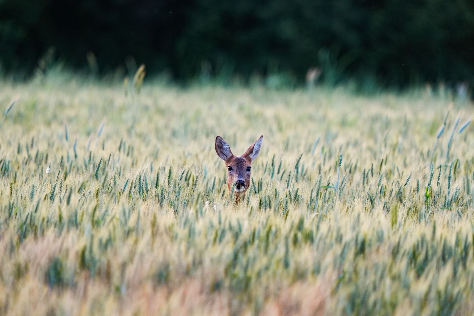
- Locate hidden wildlife before mowing or harvesting
- Reduce accidental wildlife injuries and fatalities
- Support conservation efforts and habitat management
- Help landowners make informed decisions before field operations begin
- Provide aerial documentation for wildlife organizations and research
The idea for this service became personal after an accident on our own farm involving a young rabbit hidden in tall grass. Despite every effort to save it, the experience reinforced how easily these situations occur, even for landowners who genuinely care about the wildlife on their property. That moment strengthened our commitment to exploring how thermal imaging can help prevent similar incidents.
An early morning pass over a field before the equipment goes in. Tell me the acreage and when you plan to cut.
Not a stock photograph of a drone. These are radiometric frames from real inspections, with the temperatures the camera measured.
Not every problem is visible. Thermal imaging detects the temperature differences that precede most equipment failures - a loose connection, a wet roof deck, an underperforming solar string - weeks or months before anything shows up on a walk-around.
Using infrared sensors on a commercial drone, Blue Horizon Drone provides a safe, efficient and non-invasive way to inspect roofs, solar arrays, electrical equipment and infrastructure - usually without interrupting normal operations.
Commercial work is the focus - solar, electrical, roofing, utility and infrastructure. Residential is taken as it comes.
We discuss your goals, your concerns and what the inspection actually needs to answer.
Weather, airspace, site access and safety are evaluated before anything flies. This is the part most operators skip.
FAA-compliant flight operations. Thermal and high-resolution visual imagery collected with professional-grade equipment.
Thermal imagery is reviewed for temperature anomalies and areas that warrant further evaluation.
A detailed report with annotated imagery, observations and findings you can hand to a maintenance team or an adjuster.
Rapid deployment throughout the Shenandoah Valley. For larger projects, the wider Mid-Atlantic - ask.
A short conversation is usually enough to tell you whether thermal is the right tool and what a flight would cost. If it is not the right tool, I will say so.
This is the real build. Use its menu and buttons to move around, and scroll inside the frame.
Recent Missions
More Sites We Have
Put in the Field
Every build starts as a free draft. Yours would too.